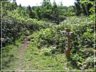
Higashinaruse 3rd station Trailhead
Attention
With regard to the Forest Road to Higashinaruse Trailhead (Yakeishi Forest Road)Vehicles up to the size of a minibus can pass through, but larger vehicles cannot pass.
Access
By Car
From the Jumonji IC on the Tohoku-Chuo Expressway, head south on Route 13, then east on Route 342.At the junction with Route 397, enter Route 397 heading east, then proceed onto the Yakeishi Forest Road.
From Jumonji IC to the trailhead is about 30 km, about 1 hour.
By Public Transportation
If using the railway: Get off at Jumonji Station on the JR Ou Line.From the station, take a taxi. The approximate fare is about 10,500 yen.
Location of the parking lot
Junction of Yakeishi Forest Road (Google Street View)The Path to the Summit
The trailhead offers parking for about 10 cars.
Please note: weekends during the climbing season can be crowded.
Please note: weekends during the climbing season can be crowded.
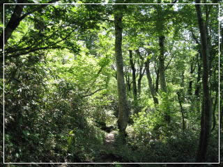
From the trailhead, the hiking trail continues weaving through primeval beech forest.
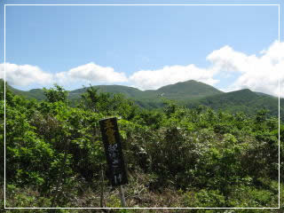
5th Station "Shaka Zange" (about 40 minutes from trailhead)
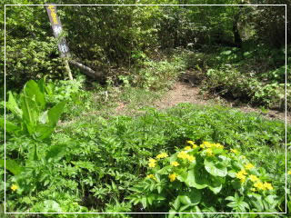
*Before the 6th Station, near the source of the Isawa River, you must cross a stream. Hiking is impossible during high water, so please be careful.
*Before the 6th Station, near the source of the Isawa River, you must cross a stream. Hiking is impossible during high water, so please be careful.
7th Station Yanagitoro stream (about 2 hours from trailhead)
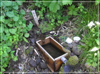
Chomeisui spring before the 8th Station
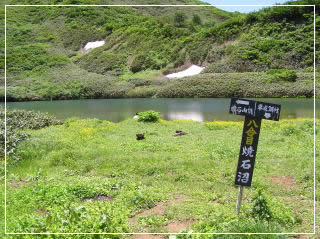
8th Station Lake Yakeishinuma (about 3 hours from trailhead)
*Tent camping near Lake Yakeishinuma is strictly prohibited.
The area around Mt. Yakeishi is designated as a Type I Special Area, home to numerous precious alpine plants.
Therefore, straying from the hiking trails and trampling the vegetation is strictly prohibited.
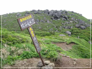
9th Station
This is the junction for the detour route to Higashi-Yakeishi-dake.
This is the junction for the detour route to Higashi-Yakeishi-dake.
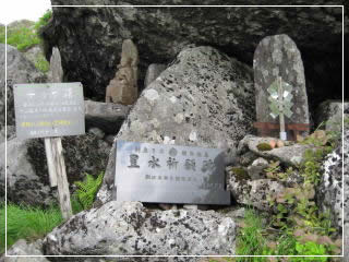
9th Station "Yakeishi Shrine"
From this area, the terrain becomes rocky and more difficult to walk.
From this area, the terrain becomes rocky and more difficult to walk.
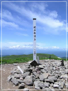
The summit(About 4hours and 30 minutes from trailhead)